Product Description
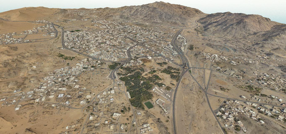
In a three-dimensional coordinate system, these points are usually defined by X, Y, and Z coordinates, and often are intended to represent the external surface of an object. For example, in Aerial Survey and GIS, point clouds are one of the sources used to make digital elevation model of the terrain .They are also used to generate 3D models of urban environment


